Tranquil conditions can be expected today for most locations, but a few isolated showers will be a threat to Connecticut and Long Island this afternoon.
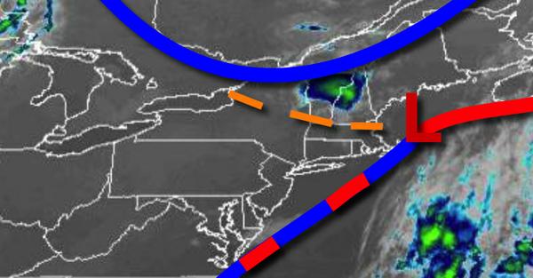
A weak trough will drop south from New England this afternoon with scattered cloud cover for most of the region and a few isolated showers over Connecticut and Long Island. Winds will be from the northwest at 5 to 15 mph. Temperatures will rise into the upper 70s to mid-80s for highs today.
A weak trough will linger over the region tonight through tomorrow with scattered clouds and an isolated shower possible in the afternoon. Winds will be from the north at around 5 mph. Temperatures tomorrow will range from the lower to mid-60s for lows and lower to mid-80s along the coast and mid-80s to lower 90s elsewhere for highs.
A warm front will approach on Thursday with scattered clouds towards evening and a few isolated showers. Winds will veer to the southeast at 5 to 15 mph. Temperatures on Wednesday will range from the mid to upper 60s for lows and upper 70s to mid-80s for highs.
The warm front will move through the region on Friday with scattered showers and thunderstorms. The thunderstorms will be capable of heavy downpours, frequent lightning, and wind gusts over 40 mph. Temperatures on Friday will range from the mid to upper 60s for lows and lower to mid-80s along the coast and mid to upper 80s elsewhere for highs.
With the warm front well to the north, a weak trough will produce areas of fog in the morning and isolated to widely scattered thunderstorms in the afternoon Saturday through Monday. Temperatures will range from the lower to mid-70s for lows and mid to upper 80s along the coast and upper 80s to mid-90s elsewhere for highs with humid conditions.
For details on your location, please visit the Local Seven Day Forecast!