The cool, comfortable maritime air mass in control today will give way to a tropical air mass by tomorrow bringing the threat for morning fog, afternoon thunderstorms, and a heat index in the lower to mid-90s.
High pressure will exit today with scattered to broken cloud cover. An isolated shower is possible in the afternoon and evening. Winds will be from the southeast at 5 to 15 mph. Temperatures will rise into the upper 70s to lower 80s for highs this afternoon.
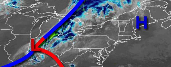
A warm front will approach tonight with increasing clouds and isolated showers towards the morning. Winds will be from the southeast at 5 to 15 mph. Temperatures will fall into the lower to mid-60s for lows.
The warm front will move through the region tomorrow with widely scattered showers and thunderstorms. Winds will veer to the south at 5 to 15 mph. Temperatures tomorrow will rise into the mid-70s to lower 80s along the coast and mid to upper 80s elsewhere for highs.
A frontal boundary will linger around the region on Saturday with isolated to widely scattered showers and thunderstorms. Winds will be from the south at 5 to 15 mph. Temperatures on Saturday will range from the upper 60s to lower 70s for lows and lowe to mid-80s along the coast and upper 80s to lower 90s elsewhere for highs.
The warm front will remain well to the north of the region on Sunday through Wednesday with locally dense fog in the morning and isolated to widely scattered showers and thunderstorms in the afternoon and evening. Humid conditions can be expected with temperatures ranging from the mid to upper 70s for lows and mid-80s to lower 90s along the coast and lower to mid-90s elsewhere for highs.
For details on your location, please visit the Local Seven Day Forecast!