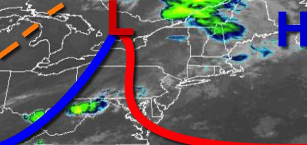
A warm front driving through the region today will reintroduce a hot, humid, and active weather pattern with morning fog, afternoon thunderstorms, and a heat index between 95 to 110 through next week.
A warm front will move through the region today with widely scattered showers and thunderstorms. Winds will veer from the southeast to south at 5 to 15 mph. Temperatures will rise into the upper 70s to mid-80s along the coast and mid to upper 80s elsehwere for highs.
A cold front will follow tonight on through tomorrow but will weaken and stall over the region with scattered to broken clouds and widely scattered showers and thunderstorms in the afternoon. Winds will be from the south at 5 to 15 mph. Temperatures tomorrow will range from the upper 60s to lower 70s for lows and lower to mid-80s on the coast and upper 80s to mid-90s elsewhere for highs with a heat index over 95 degrees.
A weak trough will linger over the region on Sunday with areas of fog in the morning followed by isolated to widely scattered showers and thunderstorms in the afternoon. Winds will be from the south at 5 to 15 mph. Hot and humid conditions will remain with temperatures ranging from the upper 60s to mid-70s for lows and mid to upper 80s on the coast and lower to mid-90s elsewhere for highs.
A heat index over 95 degrees is likely.
A series of troughs of low pressure and weakening cold fronts will linger over the region Monday on through Thursday with areas of fog in the morning and isolated to widely scattered showers and thunderstorms in the afternoon. Hot and humid weather conditions will be in place through the period with temperatures ranging from the lower to mid-70s for lows and mid to upper 80s along the coast and upper 80s to mid-90s elsewhere for highs. A heat
index of 95 or higher can be expected through the period.
For details on your location, please visit the Local Seven Day Forecast!