Dangerous heat and humidity today through tomorrow will produce a heat index over 100 degrees throughout the region. Not much relief follows the rest of this week.
A weak trough will linger over the region today with areas of fog giving way to scattered clouds. An isolated thunderstorm is possible but not like. Winds will be from the south at 5 to 10 mph. Temperatures will rise into the upper 80s to lower 90s along the coast and mid to upper 90s elsewhere for highs. Hot and humid weather conditions will push the heat index into the upper 90s to lower 110s.
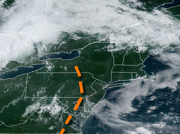
A cold front will approach tomorrow with locally dense fog in the morning giving way to scattered clouds in the afternoon. Isolated to widely scattered showers and thunderstorms will follow in the afternoon and evening. The thunderstorms will be capable of intense downpours, frequent lightning, and wind gusts over 40 mph. Winds will veer from the southwest to the northwest at 5 to 15 mph. Temperatures will range from the mid to
upper 70s for lows and upper 80s to lower 90s on the coast and mid to upper 90s elsewhere with a heat index over 100 degrees.
The cold front will stall over the region tomorrow night through Tuesday with areas of fog in the morning giving way to scattered to broken cloud cover and an isolated thunderstorm. Winds will veer to the northeast at 5 to 15 mph. Temperatures on Tuesday will range from the lower to mid-70s for lows and mid-80s to lower 90s along the coast and mid to upper 90s elsewhere for highs.
A frontal boundary will linger over the region Wednesday on through Saturday with areas of fog in the morning and scattered clouds in the afternoon along with isolated to widely scattered showers and thunderstorms. Humid conditions will persist with temperatures ranging from the upper 60s to mid-70s for lows and mid-80s to lower 90s on the coast and upper 80s to mid-90s elsewhere for highs.
For details on your location, please visit the Local Seven Day Forecast!