High pressure will produce tranquil conditions for most today but another round of hot and humid weather conditions return to start this upcoming week.
After some morning fog and low clouds, scattered clouds are expected through this evening. An isolated shower is possible but unlikely. Winds will be from the southeast at 5 to 10 mph. Temperatures will rise into the lower to mid-80s along the coast and mid to upper 80s elsewhere for highs.
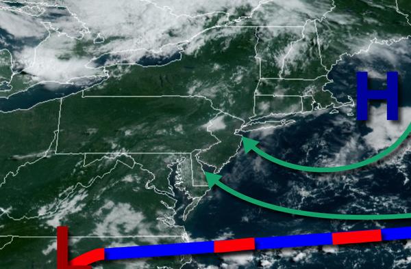
High pressure will shift south over the coastal waters with an increase in humidity noted tomorrow and Tuesday. Fog will be a threat in the morning hours followed by scattered clouds and an isolated thunderstorm in the afternoon. Winds will be from the southwest at 5 to 10 mph. Temperatures tomorrow will range from the upper 60s to mid-70s for lows and mid-80s to lower 90s for highs. Temperatures on Tuesday will range from the lower to
mid-70s for lows and mid-80s to lower 90s for highs.
A cold front will slowly approach the region on Wednesday with showers and thunderstorms by the evening hours. Temperatures on Wednesday will range from the lower to mid-70s for lows and mid-80s to lower 90s for highs.
The cold front will stall over the region on Thursday and Friday with waves
of low pressure producing periods of scattered showers and thunderstorms. Temperatures on Thursday will range from the lower to mid-70s for lows and lower to mid-80s for highs. Temperatures on Friday will range from the lower to mid-70s for lows and upper 70s to mid-80s for highs.
High pressure will build south from the Canadian Maritimes with scattered clouds and an isolated shower possible as an onshore wind takes hold on Saturday and Sunday. Temperatures will range from the upper 60s to lower 70s for lows and lower to mid-80s for highs on Saturday. Temperatures on Sunday will range from the upper 50s to mid-60s over the interior and mid to upper 60s along the coast for lows and mid-70s to lower 80s for
highs.
For details on your location, please visit the Local Seven Day Forecast!