A tropical air mass will continue to linger over the region through tomorrow with areas of locally dense fog in the morning and a heat index pushing into the mid-90s.
Muggy weather conditions will continue today with areas of low clouds and fog this morning giving way to scattered clouds in the afternoon. Isolated thunderstorms have the potential to develop in the afternoon along a trough over the Delaware River Valley. Winds will be from the southwest at 5 to 10 mph. Temperatures will rise into the lower to mid-80s along the coast and mid-80s to lower 90s elsewhere for highs. A heat index in
the mid-90s can be expected.
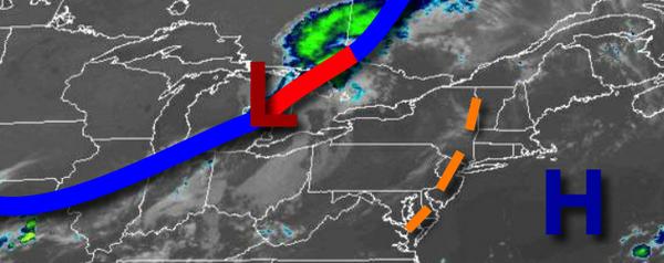
A cold front will approach tomorrow with areas of fog in the morning and scattered showers and thunderstorms in the afternoon and evening. The thunderstorms will be capable of heavy downpours, frequent lightning, hail, and wind gusts over 40 mph. Winds will be from the south at 5 to 10 mph. Temperatures tomorrow will range from the lower to mid-70s for lows and mid to upper 80s for highs.
The cold front will stall over the region tomorrow night on through Thursday with scattered to broken cloud cover and scattered showers and thunderstorms. Winds will veer to the southeast at 5 to 15 mph. Temperatures on Thursday will range from the upper 60s to mid-70s for lows and lower to mid-80s for highs.
The cold front will slowly sink south on Friday with scattered to broken cloud cover and scattered showers. Temperatures on Friday will range from the upper 60s to mid-70s for lows and upper 70s to lower 80s for highs.
High pressure from the Canadian Maritimes will build into the region with scattered cloud cover and isolated showers on Saturday and Sunday. Temperatures will range from the mid-60s to lower 70s for lows and upper 70s to mid-80s for highs.
A warm front will lift through the region on Monday with scattered showers. A cold front will follow on Tuesday with additional scattered showers and thunderstorms. Temperatures will range from the upper 60s to lower 70s for lows and upper 70s to mid-80s for highs.
For details on your location, please visit the Local Seven Day Forecast!