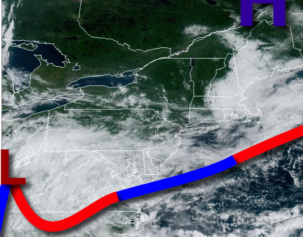
For most this weekend, variable clouds and an isolated shower can be expected, but a pesky low-pressure system will be just close enough to bring heavy rain to the southern New Jersey coast tomorrow.
A stationary front off the coast and high pressure to the north will produce scattered to broken cloud cover throughout the region and an isolated shower or two. Winds will be from the east at 5 to 15 mph. Temperatures will rise into the lower to mid-80s for highs.
An area of low pressure will approach the region tonight with increasing clouds and isolated showers. Winds will be from the southeast at 5 to 15 mph. Temperatures will fall into the mid to upper 60s for lows.
The area of low pressure will pass over the coastal waters tomorrow afternoon and evening with periods of moderate to heavy rainfall over southern New Jersey, especially along the immediate coast from Atlantic City on through Cape May, New Jersey with up to 1.0" of rain possible. The rest of the region can expect broken cloud cover along with isolated to widely scattered showers and drizzle. Winds will be from east at 5 to 15 mph with gusts
over 20 mph at times along the coast. Temperatures will rise into the mid-70s to lower 80s for highs with the coolest locations along the coast.
A cold front will approach on Monday with scattered to broken clouds and isolated showers. Winds will veer to the southwest at 5 to 15 mph. Temperatures will range from the lower to mid-60s for lows and upper 70s to mid-80s for highs.
The cold front will move through the region on Tuesday morning with scattered showers followed by clearing skies in the afternoon. Temperatures will range from the upper 50s to mid-60s over the interior and mid to upper 60s along the coast for lows and upper 70s to mid-80s for highs.
A series of weak cold fronts will follow Wednesday through Friday with scattered clouds and isolated to widely scattered showers a threat each day, especially in the afternoon hours. Temperatures will range from the mid-60s to lower 70s for lows and upper 70s to mid-80s for highs.
A stronger cold front will follow on Saturday with scattered showers in the afternoon and evening. Temperatures on Saturday will range from the upper 60s to lower 70s for lows and upper 70s to lower 80s for highs.
For details on your location, please visit the Local Seven Day Forecast!