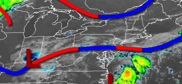
While a stationary front will linger over the region with a threat for a few showers, the weekend won't be a complete washout and temperatures will be seasonably pleasant.
The stationary front and waves of low pressure will slowly sink south off the coast today with scattered to broken cloud cover and isolated showers. Winds will be from the east at 5 to 10 mph. Temperatures will rise into the upper 70s to lower 80s for highs today.
The stationary front will linger over the coastal waters with waves of low-pressure tonight on through Sunday with scattered to broken clouds and isolated showers. Locally dense fog will be a threat in the morning hours. Winds will be from the east at 5 to 15 mph. Temperatures tomorrow will range from the upper 60s to lower 70s for lows and lower to mid-80s for highs. Temperatures on Sunday will range from the mid to upper 60s for
lows and upper 70s to lower 80s for highs.
A warm front will follow on Monday with scattered clouds and isolated showers. Temperatures will range from the lower to mid-60s for lows and upper 70s to mid-80s for highs.
A cold front will follow on Tuesday with scattered showers in the morning followed by clearing skies in the afternoon. Temperatures on Tuesday will range from the mid to upper 60s for lows and lower to mid-80s for highs.
The cold front will stall over the region on Wednesday and Thursday with scattered showers. Temperatures on Wednesday will range from the mid to upper 60s for lows and lower to mid-80s for highs. Temperatures on Thursday will range from the upper 60s to lower 70s for lows and upper 70s to lower 80s for highs.
High pressure will build into the region on Friday with clear skies to scattered clouds. Temperatures on Friday will range from the mid to upper 60s for lows and lower to mid-80s for highs.
For details on your location, please visit the Local Seven Day Forecast!