A series of cold fronts will keep the threat for a few showers and thunderstorms in the forecast through the middle of the week. Tranquil conditions return by Thursday.
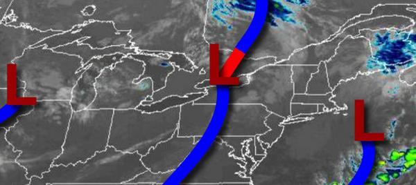
A cold front will move through the region today with scattered showers and isolated thunderstorms this afternoon and evening. The thunderstorms will be capable of brief heavy downpours, wind gusts up to 40 mph, and occasional lightning. Winds will be from the west-northwest at 5 to 10 mph. Temperatures will rise into the upper 70s to lower 80s for highs.
A weak trough will follow tomorrow with scattered clouds and a few isolated showers. Winds will be from the west at 5 to 10 mph. Temperatures will range from the upper 50s to mid-60s for lows and lower to mid-80s for highs.
A stronger cold front will follow on Wednesday with scattered showers expected in the afternoon and evening. Winds will veer to the northwest at 5 to 15 mph. Temperatures on Wednesday will range from the mid to upper 60s for lows and mid to upper 70s for highs.
High pressure will be in control on Thursday and Friday with clear skies to scattered cloud cover. Winds will be light and variable. Temperatures will range from the lower to mid-50s over the interior and upper 50s to mid-60s along the coast for lows and mid-70s to lower 80s for highs.
A series of weak cold fronts will follow on Saturday through Monday with scattered clouds and isolated showers in the afternoon. Temperatures on Saturday and Sunday will range from the mid to upper 60s for lows and lower to mid-80s for highs. Temperatures on Monday will range from the upper 60s to lower 70s for lows and mid-80s to lower 90s for highs.
For details on your location, please visit the Local Seven Day Forecast.