After a series of cold fronts drive through the region through tomorrow, pleasant conditions return through the end of the week.
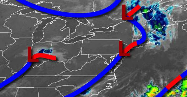
A series of cold fronts and waves of low pressure will move through the region today on through tomorrow with scattered to broken cloud cover and isolated showers and thunderstorms. The thunderstorms will be capable of brief heavy downpours, occasional lightning, and wind gusts over 40 mph. Winds will veer from the west to northwest at 5 to 10 mph. Temperatures today will rise into the upper 70s to lower 80s for highs. Temperatures
tomorrow will range from the lower to mid-60s for lows and upper 70s to lower 80s for highs.
High pressure will build into the region tomorrow night through Friday with clear skies to scattered cloud cover. Winds will be light and variable. Temperatures on Thursday will range from the lower to mid-50s over the interior and upper 50s to mid-60s along the coast for lows and upper 70s to mid-80s for highs.
High pressure will exit on Saturday with increasing cloud cover. Temperatures on Saturday will range from the mid to upper 60s for lows and lower to mid-80s for highs.
A series of cold fronts will stall over the region Sunday through Tuesday with scattered to broken clouds, morning fog, and isolated showers and thunderstorms. Temperatures on Sunday will range from the upper 60s to lower 70s for lows and upper 70s to mid-80s for highs. Temperatures on Monday and Tuesday will range from the upper 60s to lower 70s for lows and mid-80s to lower 90s for highs.
For details on your location, please visit the Local Seven Day Forecast!