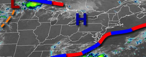
Canadian high pressure will produce pleasant weather conditions through the end of the week with clear skies, low humidity, and very comfortable temperatures.
High pressure will pass over the region today on through tomorrow with clear skies to scattered cloud cover. Winds will veer from the north to southwest at 2 to 5 mph. Temperatures this afternoon will rise into the mid-70s to lower 80s for highs. Temperatures tomorrow will range from the mid to upper 50s over the interior and lower to mid-60 along the coast for lows and upper 70s to lower 80s for highs.
High pressure will exit on Saturday with increasing clouds throughout the day. Winds will be from the southwest at 5 to 10 mph. Temperatures on Saturday will range from the mid to upper 60s for lows and lower to mid-80s for highs.
A warm front will lift through the region on Sunday with scattered to broken clouds and isolated to widely scattered showers and thunderstorms. The thunderstorms will be capable of brief heavy downpours, occasional lightning, and wind gusts up to 40 mph. Temperatures on Sunday will range from the upper 60s to lower 70s for lows and lower to mid-80s for highs.
The warm front will remain to the north of the region Monday through Thursday with a trough lingering over the Delaware River Valley with fog in the morning and isolated showers and thunderstorms in the afternoon and evening. Temperatures through the period will range from the upper 60s to lower 70s for lows and lower to mid-80s on the coast and upper 80s to lower 90s elsewhere for highs.
For details on your location, please visit the Local Seven Day Forecast!