A tropical air mass has returned to the region with areas of fog and a threat for thunderstorms in the afternoon. Although not as oppressive as previous tropical air masses of this Summer, an increase in humidity will be noticed.
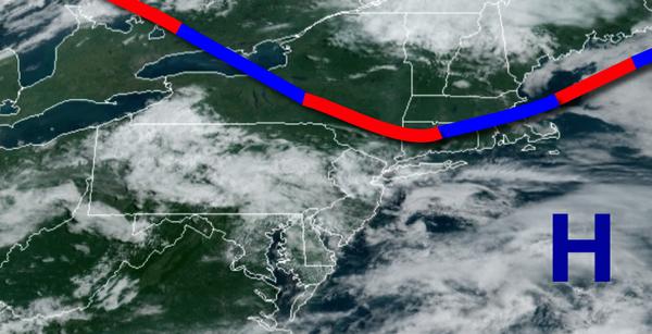
A weak trough will linger over the region today on through tomorrow with areas of fog in the morning hours and scattered to broken clouds with isolated showers and thunderstorms in the afternoon and evening. The fog will have the potential to reduce visibility below two miles. The thunderstorms will be capable of brief heavy downpours, frequent lightning, and wind gusts over 40 mph. Winds will be from the southwest at 5 to 10 mph.
Temperatures will rise into the lower to mid-80s for highs today. Temperatures tomorrow will range from the upper 60s to mid-70s for lows and lower to mid-80s along the coast and mid to upper 80s elsewhere for highs.
A cold front will approach on Tuesday with areas of fog in the morning followed by scattered showers and thunderstorms in the afternoon. Winds will veer to the west at 5 to 10 mph. Temperatures will range from the lower to mid-70s for lows and mid-80s to lower 90s for highs.
A cold front will settle to the south of the region with clearing skies towards the afternoon. Temperatures on Wednesday will range from the mid to upper 60s for lows and upper 70s to mid-80s for highs.
A warm front will lift northward on Thursday with scattered to broken clouds with scattered showers and thunderstorms. Temperatures on Thursday will range from the lower to mid-60s for lows and upper 70s to mid-80s over the New York City metropolitan area and mid-80s to lower 90s over the Philadelphia metropolitan area for highs.
A cold front will slowly sink south on Friday with periods of showers and thunderstorms. Temperatures on Friday will range from the upper 60s to lower 70s for lows and mid-80s to lower 90s for highs.
The cold front will stall over the region while the remnants of Laura and Marco approach from the Tennessee River Valley Saturday and Sunday with waves of heavy rainfall. Temperatures on Saturday will range from the lower to mid-70s for lows and mid to upper 80s for highs. Temperatures on Sunday will range from the upper 60s to lower 70s for lows and mid to upper 70s for highs.
For details for your location, please visit the Local Seven Day Forecast!