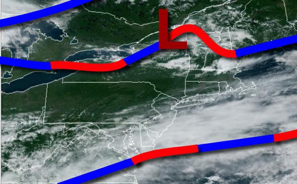
A stationary front to the south will produce scattered to broken clouds today. A tropical air mass begins to return tomorrow with a threat for thunderstorms.
A stationary front to the south of the region today will produce scattered to broken cloud cover throughout the region. Winds will be from the southwest at around 5 mph. Temperatures will rise into the lower to mid-80s for highs this afternoon.
The stationary front will wash out as a tropical air mass invades tonight with scattered to broken cloud cover and some areas of locally dense fog. Winds will be from the southwest at around 5 mph. Temperatures will fall into the upper 60s to lower 70s for lows.
A weak warm front will lift through the region tomorrow with scattered clouds along with isolated to widely scattered showers and thunderstorms. Winds will be from the southwest at 5 to 10 mph. Temperatures will rise into the lower to mid-80s along the coast and mid to upper 80s elsewhere for highs.
A weak trough will linger over the region Monday and Tuesday with locally dense fog in the morning and scattered clouds in the afternoon with isolated thunderstorms. Winds will be from the southwest at 5 to 10 mph. Temperatures on Monday will range from the upper 60s to lower 70s for lows and lower to mid-80s along the coast and mid to upper 80s elsewhere for highs. Temperatures on Tuesday will range from the upper 60s to lower 70s for
lows and mid-80s to lower 90s for highs.
A cold front will drop south through the region on Tuesday evening into Wednesday morning with scattered showers and thunderstorms. Scattered clouds are expected by Wednesday afternoon. Temperatures will range from the upper 60s to lower 70s for lows and lower to mid-80s for highs.
The frontal boundary will lift back north on Thursday with scattered clouds and isolated thunderstorms in the afternoon. Temperatures on Thursday will range from the upper 60s to lower 70s for lows and mid to upper 80s along the coast and upper 80s to mid-90s elsewhere for highs.
The cold front will drop south on Friday with scattered showers and thunderstorms. Temperatures on Friday will range from the lower to mid-70s for lows and lower to mid-80s in the New York City metro and mid-80s to lower 90s in the Philadelphia metro.
The remnants of Marco and Laura will lift through the region Friday night into Saturday with periods of rain, heavy at times. The rain will exit by Saturday afternoon. Temperatures on Saturday will range from the upper 60s to lower 70s for lows and mid to upper 80s for highs.
For details on your location, please visit the Local Seven Day Forecast!