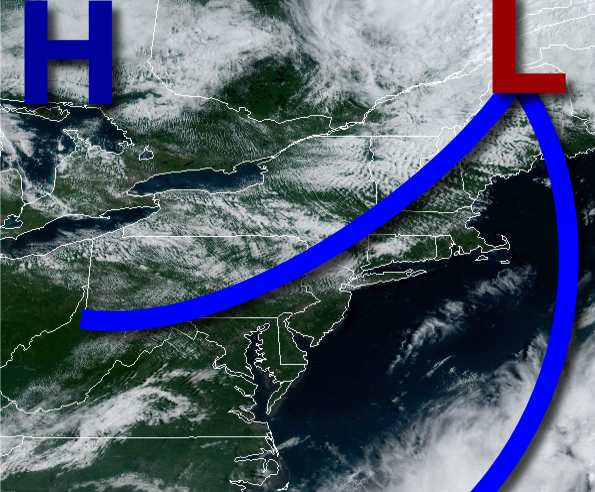
High pressure is producing outstanding weather with scattered clouds and low humidity, but the active weather pattern is set to return in just a few days.
High pressure will build into the region today with clear skies to scattered cloud cover. Winds will be from the northwest at 5 to 15 mph. Temperatures will rise into the mid to upper 70s for highs.
High pressure will pass over the region tonight on through tomorrow morning with clear skies to scattered cloud cover. Winds will veer from the north to northeast at 5 to 10 mph. Temperatures will fall into the upper 40s to mid-50s over the interior and upper 50s to lower 60s along the coast for lows.
High pressure will exit tomorrow afternoon with increasing clouds expected. Winds will veer from the northeast to southeast at 5 to 15 mph. Temperatures will rise into the mid to upper 70s for highs.
A warm front will approach the region tomorrow night on through Tuesday with broken to overcast cloud cover and waves of rainfall. Winds will be from the southeast at 10 to 20 mph. Temperatures on Tuesday will range from the mid to upper 60s for lows and upper 60s to mid-70s for highs.
The warm front will lift through the region on Wednesday with scattered to broken clouds and isolated thunderstorms. Temperatures will range from the mid to upper 60s for lows and mid-70s to lower 80s for highs.
The warm front will be north of the region by Thursday with areas of fog in the morning and isolated thunderstorms in the afternoon and evening. Temperatures on Thursday will range from the mid to upper 60s for lows and lower to mid-80s for highs.
A cold front will follow on Friday with widely scattered to scattered showers and thunderstorms expected. Temperatures on Friday will range from the lower to mid-70s for lows and lower to mid-80s for highs.
High pressure will produce clear skies to scattered cloud cover on Saturday and Sunday. Temperatures on Saturday will range from the upper 50s to lower 60s for lows and mid to upper 70s for highs. Temperatures on Sunday will range from the mid-60s to lower 60s for lows and mid-70s to lower 80s for highs.
For details on your location, please visit the Local Seven Day Forecast!