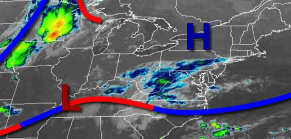
Cool Canadian high pressure exits today, giving way to a warm front with a threat for showers tonight on through tomorrow.
High pressure will pass to the north of the region with clear skies giving way to increasing clouds by the afternoon. Winds will veer from the northeast at southeast at 5 to 10 mph. Temperatures will rise into the mid to upper 70s for highs.
A warm front will approach tonight on through tomorrow with broken cloud cover and scattered showers. The showers will be capable of brief heavy downpours at times. Winds will be from the southeast at 5 to 15 mph. Temperatures tomorrow will range from the mid to upper 60s for lows and lower to mid-70s for highs.
The warm front will lift through the region on Wednesday with isolated to widely scattered showers and thunderstorms. Winds will veer from the southeast to southwest at 5 to 15 mph. Temperatures on Wednesday will range from the upper 60s to lower 70s for lows and mid-70s to lower 80s for highs.
A series of cold fronts will follow on Thursday and Friday with isolated to scattered showers and thunderstorms. Temperatures on Thursday will range from the lower to mid-70s for lows and lower to mid-80s for highs. Temperatures on Friday will range from the mid to upper 70s for lows and mid-80s to lower 90s for highs.
High pressure will be in control Saturday on through Labor Day Monday with clear skies to scattered cloud cover. Temperatures on Saturday will range from the mid-50s to lower 60s for lows and mid to upper 70s for highs. Temperatures on Sunday will range from the upper 40s to mid-50s over the interior and mid-50s to lower 60s along the coast for lows and mid-70s to lower 80s for highs. Temperatures on Monday will range from the mid-60s to
lower 70s for lows and upper 70s to mid-80s for highs.
For details on your location, please visit the Local Seven Day Forecast!