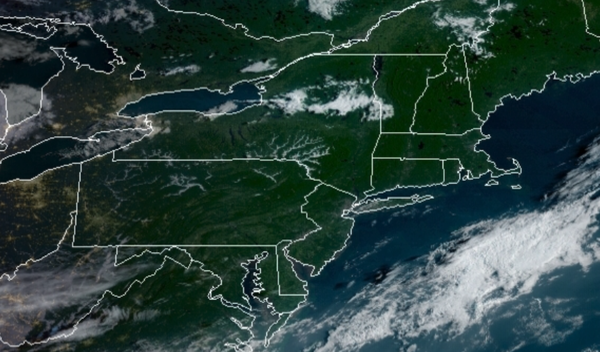
You can't ask for better weather for the first weekend of Fall and for the Labor Day Weekend with high pressure in complete control.
High pressure will be in complete control through tomorrow with clear skies to scattered cloud cover. Winds will veer from the northwest to southwest at 5 to 10 mph through the forecast period. Temperatures today will rise into the mid to upper 70s for highs. Temperatures tomorrow will range from the mid-50s to lower 60s for lows and mid-70s to lower 80s for highs.
High pressure will shift to the northeast of the region on Labor Day with scattered clouds expected. Winds will back to the southeast at 5 to 15 mph. Temperatures on Monday will range from the lower to mid-60s for lows and mid-70s to lower 80s for highs.
A warm front will approach from the Atlantic Ocean on Tuesday with increasing clouds and showers towards the evening hours. Temperatures on Tuesday will range from the mid to upper 60s for lows and upper 70s to mid-80s for highs.
A cold front will slowly approach the region Wednesday and Thursday with waves of showers expected. Temperatures on Wednesday will range from the mid to upper 60s for lows and lower to mid-70s for highs. Temperatures on Thursday will range from the upper 60s to mid-70s for lows and mid-70s to lower 80s for highs.
The cold front will slowly move through the region on Friday and Saturday with waves of showers, heavy at times. Temperatures on Friday will range from the mid-70s for lows and upper 70s to mid-80s for highs. Temperatures on Saturday will range from the lower to mid-70s for lows and mid to upper 70s for highs.
For details on your location, please visit the Local Seven Day Forecast!