Excellent weather conditions will continue on through tomorrow, but rainfall will return by the middle of this upcoming week.
High pressure will pass over the region today on through tomorrow with clear skies to scattered cloud cover. Winds will back from the southwest to southeast at 5 to 10 mph. Temperatures today will rise into the upper 70s to lower 80s for highs. Temperatures tomorrow will range from the mid-50s to lower 60s away from the coast and mid to upper 60s on the coast for lows and mid-70s to lower 80s for highs.
A warm front will approach on Tuesday with increasing clouds and isolated showers towards evening. Temperatures on Tuesday will range from the lower to mid-60s for lows and upper 70s to mid-80s for highs.
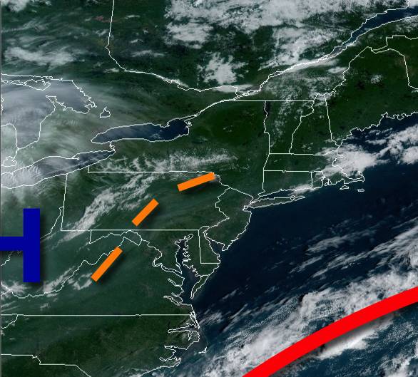
A stalling cold front to the west and a stalling warming front off the coast will combine to produce scattered to broken cloud cover and isolated to scattered showers throughout the region on Wednesday Thursday, and Friday. Temperatures on Wednesday will range from the lower to mid-60s for lows and upper 70s to mid-80s for highs. Temperatures on Thursday will range from the lower to mid-70s for lows and lower to mid-80s for highs.
Temperatures on Friday will range from the mid to upper 60s for lows and lower to mid-70s for highs.
On Saturday and Sunday, a cold front will drop south through the region and then stall over the coastal waters with scattered to broken cloud cover and isolated to widely scattered showers. Temperatures on Saturday will range from the upper 50s to lower 60s for lows and lower to mid-70s for highs. Temperatures on Sunday will range from the lower to mid-60s for lows and upper 70s to lower 80s for highs.
For details on your location, please visit the Local Seven Day Forecast!