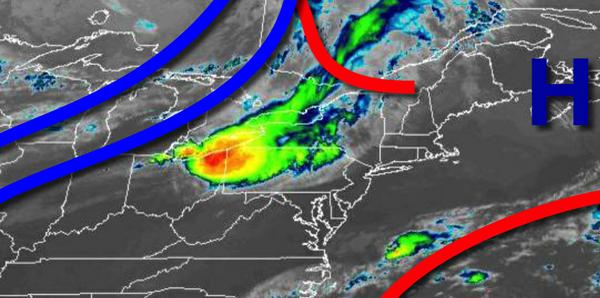
Excellent weather conditions are in place through tomorrow morning, then an active weather pattern returns as the region is squeezed between a warm front off the coast and a cold front to the west.
High pressure will produce clear skies to scattered clouds through this evening. Winds will be from the southeast at 5 to 10 mph. Temperatures will rise into the mid-70s to lower 80s for highs.
As high pressure exits and a warm front approaches from the Atlantic Ocean, clouds will increase throughout the day tomorrow followed by isolated showers along the coast tomorrow evening. Winds will be from the southeast at 5 to 15 mph. Temperatures tomorrow will range from the lower to mid-60s for lows and upper 70s to mid-80s for highs.
A warm front along the coast and a cold front stalled to the west will produce scattered to broken cloud cover and isolated to scattered showers tomorrow night on through Wednesday. The highest threat for rainfall will be along the coast. Winds will be from the east at 5 to 15 mph. Temperatures on Wednesday will range from the mid to upper 60s for lows and upper 70s to mid-80s for highs.
The cold front will slowly press through the region Thursday on through Sunday with scattered to broken clouds and isolated to widely scattered showers. Temperatures on Thursday will range from the lower to mid-70s for lows and lower to mid-80s for highs. Temperatures on Friday will range from the lower to mid-60s for lows and lower to mid-70s for highs. Temperatures on Saturday will range from the upper 50s to lower 60s for lows and
lower to mid-70s for highs. Temperatures on Sunday will range from the lower to mid-60s for lows and lower to mid-70s for highs.
High pressure will build into the region on Monday with scattered clouds expected. Temperatures on Monday will range from the mid to upper 60s for lows and upper 70s to mid-80s for highs.
For details for your location, please visit the Local Seven Day Forecast!