Tranquil weather conditions will be a dominant theme through the upcoming week with a series of high-pressure systems.
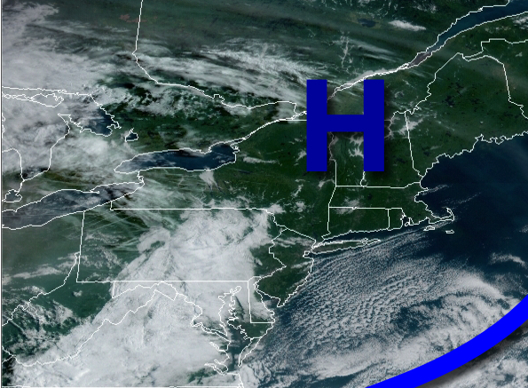
High pressure will pass to the north of the region through tonight with scattered to broken cloud cover. Winds will veer from the north to the northeast at 5 to 15 mph. Temperatures will rise into the upper 60s to lower 70s for highs.
An area of low-pressure will pass through the tomorrow with a warm front in the afternoon and evening with scattered showers. A cold front will follow tomorrow night with widely scattered showers. Winds will veer to the northwest at 5 to 15 mph. Temperatures tomorrow will range from the upper 50s to mid-60s for lows and mid-70s to lower 80s for highs.
The cold front will clear the coast on Monday morning with isolated showers followed by clearing skies in the afternoon and evening. Winds will veer from the northwest to the northeast at 5 to 15 mph. Temperatures will range from the upper 60s to lower 70s for lows and mid to upper 70s for highs.
High pressure will be in control Tuesday on through Thursday with clear skies to scattered cloud cover. Temperatures on Tuesday will range from the upper 40s to mid-50s for lows and mid-60s to lower 70s for highs. Temperatures on Wednesday will range from the lower to mid-60s for lows and upper 60s to mid-70s for highs. Temperatures on Thursday will range from the mid-50s to lower 60s for lows and mid-70s to lower 80s for
highs.
A cold front will move through the region on Friday with widely scattered showers. Temperatures on Friday will range from the lower to mid-60s for lows and upper 60s to mid-70s for highs.
High pressure will produce clear skies to scattered cloud cover on Saturday. Temperatures on Saturday will range from the mid-40s to lower 50s for lows and upper 50s to mid-60s for highs.
For details on your location, please visit the Local Seven Day Forecast!