A cold front brings a reenforcing shot of Polar air to the region, setting up cool and tranquil conditions for the upcoming weekend.
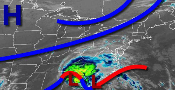
A cold front will approach today with increasing clouds and a few isolated showers. Winds will be from the southwest at 5 to 15 mph. Temperatures will rise into the lower to mid-70s for highs.
The cold front will move through the region tonight through tomorrow afternoon with scattered to broken clouds along with isolated to widely scattered showers. Winds will veer to the northeast at 5 to 15 mph. Temperatures tomorrow will range from the upper 50s to lower 60s for lows and lower to mid-70s for highs.
High pressure will build into the region tomorrow night through Saturday with clear skies to scattered cloud cover. Winds will be from the northeast at 5 to 15 mph. Temperatures on Saturday will range from the mid-40s to lower 50s for lows and lower to mid-60s for highs.
High pressure will be in control Sunday and Monday with clear skies to scattered cloud cover. Temperatures on Sunday will range from the upper 30s to mid-40s over the interior and mid-40s to lower 50s along the coast for lows and lower to mid-60s for highs. Temperatures on Monday will range from the upper 30s to lower 40s over the interior and mid-40s to lower 50s along the coast for lows and lower to mid-60s for highs.
The outer bands of Hurricane Teddy will have the potential to produce a few isolated showers along the immediate coast on through Connecticut, otherwise scattered cloud cover is expected on Tuesday. Temperatures on Tuesday will range from the mid-40s to lower 50s for lows and mid-60s to lower 70s for highs.
High pressure will produce clear skies to scattered clouds on Wednesday and Thursday. Temperatures on Wednesday will range from the upper 40s to lower 50s for lows and mid to upper 70s for highs. Temperatures on Thursday will range from the mid to upper 50s for lows and mid-70s to lower 80s for highs.
For details on your location, please visit the Local Seven Day Forecast!