After excellent weather for much of this week, cloudy skies can be expected to end the week with the threat of a few showers this weekend. An active weather pattern returns next week.
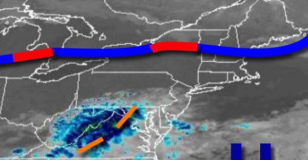
The remnants of Beta will approach from the Tennessee River Valley today with areas of fog this morning giving way to cloudy skies for this afternoon. Winds will be from the south at 5 to 10 mph. Temperatures will rise into the mid to upper 70s for highs this afternoon.
The remnants of Beta will pass through the coastal waters tonight through tomorrow with broken to overcast clouds and isolated showers. Winds will back to the northeast at 5 to 15 mph. Temperatures tomorrow will range from the mid-50s to lower 60s for lows and lower to mid-70s along the coast and mid to upper 70s elsewhere for highs.
A cold front will follow on Sunday with scattered to broken clouds and isolated showers. Winds will be from the northeast at 5 to 15 mph. Temperatures on Sunday will range from the upper 50s to mid-60s for lows and mid to upper 70s for highs.
A series of cold fronts can be expected Monday through Thursday with isolated to widely scattered showers. Temperatures on Monday will range from the mid to upper 60s for lows and mid-70s to lower 80s for highs. Temperatures on Tuesday will range from the mid to upper 60s for lows and mid-70s to lower 80s for highs. Temperatures on Wednesday will range from the upper 60s to lower 70s for lows and mid to upper 70s for highs.
Temperatures on Thursday will range from the upper 50s to lower 60s for lows and lower to mid-70s for highs.
High pressure will build into the region on Friday with clearing skies. Temperatures on Friday will range from the lower to mid-60s for lows and mid-60s to lower 70s for highs.
For details on your location, please visit the Local Seven Day Forecast!