After days of dry weather, showers have returned with an occasional heavy downpour. Showers will be a threat through the weekend.
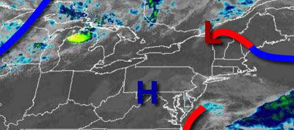
An area of low pressure off the Mid Atlantic coast will produce widely scattered to scattered showers. Winds will be from the southeast at 5 to 15 mph. Temperatures will rise into the lower to mid-70s for highs.
A weak cold front will approach tonight through tomorrow with isolated to widely scattered showers. Winds will be from the southeast at 5 to 10 mph. Temperatures will range from the lower to mid-60s for lows and mid to upper 70s for highs.
Another cold front will approach on Monday with scattered to broken clouds and isolated to widely scattered showers. Winds will be from the south at 5 to 15 mph. Temperatures on Monday will range from the lower to mid-60s for lows and lower to mid-70s on the coast and mid-70s to lower 80s elsewhere.
A series of cold fronts will follow Tuesday through Thursday with waves of low pressure produce scattered showers capable of heavy downpours at times. Temperatures on Tuesday will range from the mid-60s for lows and mid to upper 70s for highs. Temperatures on Wednesday will range from the mid to upper 60s for lows and mid-70s for highs. Temperatures on Thursday will range from the lower to mid-60s for lows and upper 60s to lower 70s for
highs.
High pressure will build into the region on Friday and Saturday with clear skies to scattered cloud cover. Temperatures on Friday will range from the lower to mid-50s for lows and mid-60s for highs. Temperatures on Saturday will range from the upper 40s to mid-50s for lows and lower to mid-60s for highs.
For details on your location, please visit the Local Seven Day Forecast!