An active weather pattern returns with the threat of more rainfall, low clouds, and fog with the heaviest rainfall expected on Wednesday.
A weak trough will pass through the region today with morning fog and isolated showers giving way to overcast skies and isolated to widely scattered showers in the afternoon. Winds will be from the south at 5 to 15 mph. Temperatures will rise into the lower to mid-70s on Long Island and mid-70s to lower 80s elsewhere for highs this afternoon.
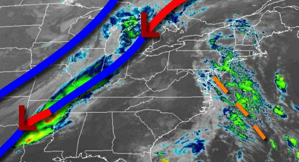
A cold front will approach tomorrow with areas of fog and drizzle tomorrow morning giving way to overcast skies and isolated to widely scattered showers in the afternoon and evening. Winds will be from the south at 10 to 20 mph. Temperatures tomorrow will range from the lower to mid-60s for lows and lower to mid-70s for highs.
A wave of low pressure will move along the cold front tomorrow night through Wednesday with waves of moderate to heavy rainfall, especially along the coast. Rainfall amounts of 1.5" to 3" can be expected from the Delaware River Valley to the coast while 0.25" to 1.25" can be expected over the interior. Winds will veer to the west at 5 to 15 mph. Temperatures on Wednesday will range from the upper 50s to lower 60s over the interior and
mid to upper 60s along the coast for lows and upper 60s to lower 70s for highs.
A series of cold fronts will follow on Thursday and Friday with scattered to broken clouds and isolated to widely scattered showers. Temperatures on Thursday will range from the lower to mid-50s for lows and upper 60s to lower 70s for highs. Temperatures on Friday will range from the lower to mid-50s for lows and upper 50s to lower 60s for highs.
High pressure will be in control on Saturday and Sunday with clear skies to scattered cloud cover. Temperatures will range from the upper 30s to mid-40s over the interior and upper 40s to mid-50s along the coast for lows and lower to mid-60s for highs.
A cold front will follow on Monday with scattered showers. Temperatures on Monday will range from the upper 40s to mid-50s for lows and lower to mid-60s for highs.
For details on your location, please visit the Local Seven Day Forecast!