Clouds and a few showers can be expected throughout this Sunday, more rainfall on the way through the end of this week.
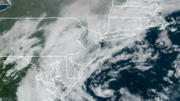
A weak low-pressure system will pass off the coastal waters today with broken to overcast skies and isolated showers. Winds will be from the east at 5 to 10 mph. Temperatures will rise into the mid-70s to lower 80s for highs this afternoon.
A cold front will slowly approach the region tomorrow on through Tuesday with isolated to widely scattered showers expected along with locally dense fog in the morning hours. Winds will be from the south at 5 to 15 mph. Temperatures tomorrow will range from the mid to upper 60s for lows and mid-70s to lower 80s for highs. Temperatures on Tuesday will range from the lower to mid-60s for lows and lower to mid-70s on Long Island and mid-70s
to lower 80s elsewhere for highs.
A cold front with waves of low pressure will produce waves of moderate to heavy rainfall on Wednesday. Rainfall amounts of one to three inches will be possible along the coast. Temperatures on Wednesday will range from the mid to upper 60s for lows and upper 60s to lower 70s for highs.
A series of cold fronts will follow on Thursday and Friday with isolated to widely scattered showers. Temperatures on Thursday will range from the mid to upper 50s for lows and mid-60s to lower 70s for highs. Temperatures on Friday will range from the mid to upper 50s for lows and lower to mid-60s for highs.
High pressure will be in control Saturday and Sunday with clear skies to scattered cloud cover. Temperatures on Saturday and Sunday will range from the mid-30s to lower 40s over the interior and mid-40s to lower 50s along the coast and upper 50s to mid-60s for highs.
For details on your location, please visit the Local Seven Day Forecast for details!