The threat for showers returns tonight on through tomorrow as a cool weather pattern continues through next week.
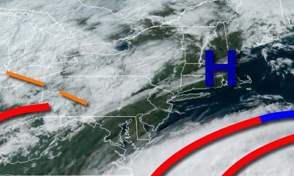
High pressure will exit today with increasing clouds through this afternoon. Winds will back from the southeast to the northeast at 5 to 15 mph. Temperatures will rise into the mid to upper 60s for highs this afternoon.
An area of low pressure will redevelop over the coastal waters tonight on through tomorrow with scattered to broken clouds and widely scattered showers. Winds will be from the north at 5 to 15 mph. Temperatures tomorrow will range from the upper 40s to lower 50s over the interior and mid to upper 50s along the coast for lows and mid to upper 60s for highs.
High pressure will be in control tomorrow night on through Tuesday with scattered cloud cover expected. Winds will back to the southwest at 5 to 15 mph. Temperatures on Tuesday will range from the lower to mid-50s for lows and mid-60s to lower 70s for highs.
A cold front will approach on Wednesday with evening showers and breezy conditions. Temperatures on Wednesday will range from the mid-50s to lower 60s for lows and lower to mid-70s for highs.
The cold front will exit on Thursday morning with a few lingering showers followed by clearing skies to scattered cloud cover. Temperatures on Thursday will range from the lower to mid-50s for lows and lower to mid-60s for highs.
High pressure will be in control Friday through Sunday with clear skies to scattered cloud cover. Temperatures on Friday will range from the upper 30s to mid-40s for lows and mid to upper 50s for highs. Temperatures on Saturday will range from the lower to mid-40s for lows and mid to upper 60s for highs. Temperatures on Sunday will range from the upper 40s to mid-50s for lows and upper 60s to mid-70s for highs.
For details on your location please visit the Local Seven Day Forecast!