Excellent weather conditions will continue through this weekend but the threat for showers return next week.
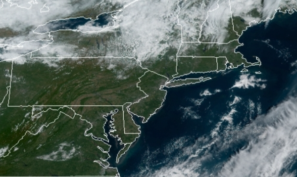
High pressure will remain in control through tomorrow with clear skies to scattered cloud cover. Winds will veer from the northwest to southeast at 5 to 15 mph. Temperatures will continue to rise into the lower to mid-60s for highs this afternoon. Temperatures tomorrow will range from the mid-40s to lower 50s for lows and mid to upper 60s for highs.
An area of low pressure will develop over the coastal waters tomorrow night through Monday with variable cloud cover and isolated to widely scattered showers over the interior and scattered showers along the coast. Winds will be from the northeast at 5 to 15 mph. Temperatures on Monday will range from the upper 40s to mid-50s for lows and lower to mid-60s for highs.
High pressure will be in control on Tuesday and Wednesday with clear skies to scattered cloud cover. Temperatures will range from the upper 40s to lower 50s for lows and mid to upper 60s for highs on Tuesday. Temperatures on Wednesday will range from the upper 40s to mid-50s over the interior and mid to upper 50s along the coast for lows and upper 60s to mid-70s for highs.
A cold front will move through the region on Thursday with scattered showers expected. Temperatures on Thursday will range from the lower to mid-50s for lows and upper 50s to mid-60s for highs.
High pressure will be in control on Friday and Saturday with clear skies to scattered cloud cover. Temperatures on Friday will range from the mid-30s to lower 40s over the interior and lower to mid-40s along the coast for lows and lower to mid-50s for highs. Temperatures on Saturday will range from the lower to mid-30s over the interior and mid-30s to lower 40s along the coast for lows and mid-50s to lower 60s for highs.
For details on your location, please visit the Local Seven Day Forecast!