Breezy and cool conditions return today followed by tranquil conditions for much of this weekend. Heavy rainfall threat increase for next week.
A cold front will move through this morning with scattered cloud cover followed by clearing skies. Winds will be from the northwest at 10 to 20 mph with gusts over 30 mph at times. Temperatures will rise into the lower to mid-60s for highs this afternoon.
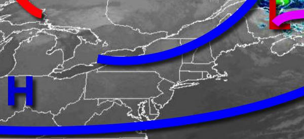
High pressure will be in control tonight on through Saturday with clear skies to scattered cloud cover. Winds will back from the west to southwest at 5 to 15 mph. Temperatures tomorrow will range from the mid-40s to lower 50s for lows and mid to upper 60s for highs. Temperatures on Saturday will range from the upper 50s to lower 60s for lows and upper 60s to lower 70s along the coast and mid to upper 70s elsewhere for highs.
A weak cold front will drop through the region on Sunday with isolated showers in the afternoon and evening. Temperatures on Sunday will range from the upper 50s to lower 60s for lows and upper 60s to mid-70s for highs.
The cold front will stall over the region Sunday night through Tuesday while the remnant moisture of Hurricane Delta lifting into the region producing widespread rainfall, heavy at times. Temperatures on Monday will range from the mid to upper 50s for lows and mid-60s for highs. Temperatures on Tuesday will range from the lower to mid-60s for lows and upper 60s to mid-70s for highs.
A strong cold front will follow on Wednesday with scattered showers giving way to clearing skies in the late afternoon and evening. Temperatures on Wednesday will range from the mid to upper 40s for lows and mid to upper 60s for highs.
High pressure will be in control on Thursday with clear skies to scattered clouds. Temperatures on Thursday will range from the upper 40s to lower 50s for lows and upper 60s to lower 70s for highs.
For details on your location, please visit the Local Seven Day Forecast.