A dry but cloudy day continues, but a significant rainfall event is brewing for the start of the new week.
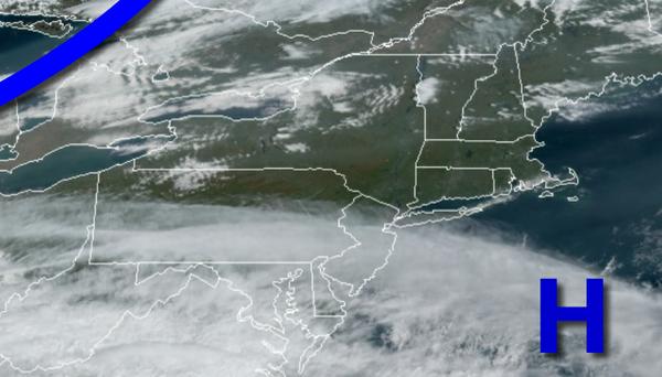
High pressure will continue to push into the western Atlantic today with increasing clouds through the afternoon and evening. Winds will be from the southwest at 5 to 15 mph. Temperatures will rise into the lower to mid-70s for highs.
A cold front will approach from the Great Lakes tonight through tomorrow morning with overcast skies and isolated showers towards morning. Winds will veer from the southwest to north at 5 to 15 mph. Temperatures will fall into the upper 50s to lower 60s for lows.
The cold front will drop south through the region as high pressure passes towards northern New England with scattered clouds with isolated showers. Winds will veer to the northeast at 5 to 15 mph. Temperatures will rise into the mid to upper 60s for highs.
Tomorrow night on through Monday, the remnants of Delta and a warm front will lift through the region with waves of moderate to heavy rainfall. Rainfall amounts will range from 1" to 3" with the heaviest rainfall expected around the I-95 corridor. Winds will be from the east at 10 to 20 mph with gusts over 25 mph at times. Temperatures on Monday will range from the mid-50s for lows and upper 50s to mid-60s for highs.
A cold front will follow on Tuesday with periods of showers in the morning followed by clearing skies in the afternoon and evening. Temperatures on Tuesday will range from the upper 50s to lower 60s for lows and upper 60s to lower 70s for highs.
High pressure will be in control on Wednesday with clear skies to scattered cloud cover. Temperatures on Wednesday will range from the mid-40s to lower 50s for lows and mid to upper 60s for highs.
A series of cold fronts will move through the region on Thursday through
Saturday with isolated to widely scattered showers. Temperatures on Thursday will range from the upper 40s to mid-50s for lows and lower to mid-70s for highs. Temperatures on Friday will range from the lower to mid-60s for lows and upper 60s to mid-70s for highs. Temperatures on Saturday will range from the mid-40s to lower 50s for lows and upper 50s to mid-60s along the coast and Long Island and upper 40s to mid-50s elsewhere for
highs.
For details on your location, please visit the Local Seven Day Forecast!