Tranquil conditions will continue into the weekend, but a major rainstorm is on the way for Monday as the remnants of Delta invades the region.
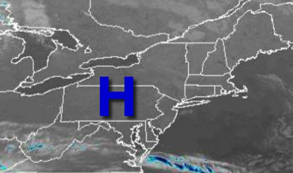
High pressure will pass over the region today on through tomorrow with clear skies to scattered cloud cover. Winds will be from the southwest at 5 to 15 mph. Temperatures will rise into the mid-60s to lower 70s for highs this afternoon. Temperatures tomorrow will range from the upper 50s to lower 60s for lows and lower to mid-70s along the coast and mid to upper 70s for highs.
A cold front will drop through the region on Sunday with isolated and scattered clouds through the day. Winds will veer to the northeast at 5 to 15 mph. Temperatures on Sunday will range from the upper 50s to lower 60s for lows and upper 60s to lower 70s along the coast and mid to upper 70s in the Delaware River Valley.
A stationary front along with the remnants of Delta will produce waves of moderate to heavy rainfall on Monday. A warm front will follow on Monday night into Tuesday morning with additional showers. A cold front will move through on Tuesday evening through early Wednesday morning with additional waves of showers and embedded thunderstorms. Raw, windy conditions can be expected throughout this period. Rainfall amounts of 1" to 3"
can be expected. Temperatures on Monday will range from the mid to upper 50s for lows and lower to mid-60s for highs. Temperatures on Tuesday will range from the mid-60s for lows and lower to mid-70s for highs.
A few showers will follow on early Wednesday morning as the cold front clears the region followed by clearing skies the rest of the day. Temperatures on Wednesday will range from the mid-40s to lower 50s for lows and mid-60s to lower 70s for highs.
High pressure will be in control on Thursday with clear skies to scattered clouds. Temperatures on Thursday will range from the mid-40s to lower 50s for lows and upper 60s to mid-70s for highs.
A cold front will move through the region with scattered clouds and isolated showers. Temperatures on Friday will range from the lower to mid-60s for lows and mid-60s to lower 70s for highs.
For details on your location, please visit the Local Seven Day Forecast.