Waves of rainfall continue this morning, but a cold front approaching for this afternoon will bring a return to dry weather. Another rainstorm looms for Friday night.
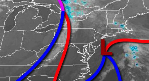
An area of low pressure off the New Jersey coast continues to produce waves of scattered showers capable of heavy downpours at times along with areas of drizzle. A cold front will follow this afternoon with additional scattered showers. Winds will back from the northeast to northwest at 5 to 15 mph. Temperatures will rise into the mid to upper 60s for highs.
High pressure will build into the region tonight with clearing skies. Winds will be from the northwest at 5 to 15 mph. Temperatures will fall into the mid-40s to lower 50s for lows.
High pressure will pass over the region tomorrow through Thursday with clear skies to scattered cloud cover. Winds will back to the southwest at 5 to 15 mph. Temperatures tomorrow will rise into the mid to upper 60s for highs this afternoon. Temperatures on Thursday will range from the upper 40s to mid-50s for lows and upper 60s to mid-70s for highs.
A strong cold front will approach on Friday with increasing clouds throughout the day. An area of low pressure will develop along the cold front with waves of moderate to heavy rainfall Friday afternoon through early Saturday morning. Temperatures on Friday will range from the upper 50s to mid-60s for lows and mid-60s to lower 70s for highs.
The cold front will clear the region on Saturday with showers in the morning with clearing skies in the afternoon. Temperatures on Saturday will range from the mid to upper 40s for lows and mid to upper 50s for highs.
High pressure will be in control on Sunday through Tuesday with clear skies to scattered clouds. Temperatures on Sunday will range from the mid-30s to lower 40s over the interior and mid to upper 40s along the coast for lows and lower to mid-60s for highs. Temperatures on Monday will range from the mid-40s to lower 50s for lows and mid-60s to lower 70s for highs. Temperatures on Tuesday will range from the mid-50s to lower 60s for lows
and mid-60s to lower 70s for highs.
For details on your location, please visit the Local Seven Day Forecast.