An onshore wind today will keep the region cool and a bit cloudy, but warmer conditions are expected the rest of the week with a few pesky showers.
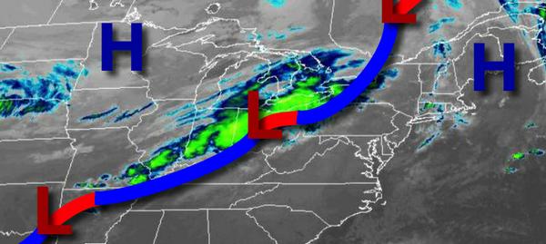
A cold front will approach but stall to the west of the region today with scattered to broken clouds with isolated showers a threat in the afternoon and evening. Winds will be from the east at 5 to 15 mph. Temperatures will rise into the mid-60s to lower 70s for highs.
The cold front will remain stationary to the northwest of the region tonight through Wednesday with scattered to broken clouds and isolated showers a threat. Winds will veer to the southwest at 5 to 10 mph. Temperatures tomorrow will range from the mid to upper 50s for lows and upper 60s to mid-70s for highs. Temperatures on Wednesday will range from the lower to mid-60s for lows and upper 60s to mid-70s for highs.
A series of frontal boundaries will waver over the region Thursday through Saturday with scattered to broken clouds with isolated showers. Temperatures on Thursday will range from the upper 50s to lower 60s for lows and lower to mid-70s for highs. Temperatures on Friday will range from the upper 50s to lower 60s for lows and mid to upper 60s for highs. Temperatures on Saturday will range from the lower to mid-50s for lows and upper 60s
to lower 70s for highs.
A strong cold front will move through on Sunday morning with a few isolated showers. Temperatures will range from the upper 40s to lower 50s for lows and mid to upper 50s for highs.
A warm front will follow on Monday with isolated showers. Temperatures on Monday will range from the upper 40s to lower 50s for lows and lower to mid-60s for highs.
For details on your location, please visit the Local Seven Day Forecast!