Locally dense fog has returned this morning but a cold front on the way for tomorrow will put an end to this streaky of foggy morning conditions.
A warm front will continue to lift north with dense fog giving way to scattered to broken clouds and isolated showers in the afternoon. Winds will veer from the southeast to south at 5 to 15 mph. Temperatures will rise into the mid-60s to lower 70s for highs this afternoon.
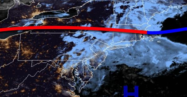
A cold front will move through the region tomorrow with scattered to broken clouds and isolated showers. Winds will veer to the northwest at 5 to 15 mph. Temperatures tomorrow will range from the upper 50s to lower 60s for lows and upper 60s to lower 70s for highs.
High pressure will build into the region on Sunday with scattered clouds expected. Winds will veer from the northwest to the northeast at 5 to 15 mph. Temperatures on Sunday will range from the upper 30s to mid-40s for lows and lower to mid-50s for highs.
A warm front will move through the region on Monday with scattered to broken clouds and widely scattered showers. Temperatures on Monday will range from the upper 40s to lower 50s for lows and lower to mid-60s for highs.
A cold front will follow on Tuesday with widely scattered showers expected. Temperatures on Tuesday will range from the upper 50s to lower 60s for lows and upper 60s to mid-70s for highs.
A series of cold fronts will move through the region on Wednesday through Friday with scattered to broken clouds and isolated to widely scattered showers. Temperatures on Wednesday will range from the upper 40s to lower 50s for lows and upper 50s to lower 60s for highs. Temperatures on Thursday will range from the lower to mid-40s for lows and upper 50s to lower 60s for highs. Temperatures on Friday will range from the upper 40s to lower
50s for lows and upper 50s for highs.
For details on your location, please visit the Local Seven Day Forecast!