An active weather pattern is expected through the week with a significant rainstorm likely by the end of the week with snow possible for higher elevations.
An area of low pressure will pass off the coast with broken to overcast cloud cover with isolated to widely scattered showers throughout the day. Winds will back from the northeast to the north at 5 to 15 mph. Temperatures will rise into the upper 50s to lower 60s for highs.
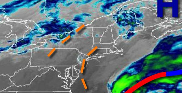
A series of cold fronts and weak waves of low pressure will produce scattered to broken cloud cover and isolated showers tomorrow through Wednesday. Winds will be from the northwest at 5 to 15 mph. Temperatures tomorrow will range from the upper 40s to lower 50s for lows and upper 50s to lower 60s for highs. Temperatures on Wednesday will range from the upper 40s to lower 50s for lows and mid-50s to lower 60s for
highs.
A strong area of low pressure and the remnants of Zeta will move through the region on Thursday through Friday. The rain will mix over to snow and sleet for higher elevations on Friday afternoon and evening with some minor accumulation possible. Windy conditions can be expected. Temperatures on Thursday will range from the mid to upper 40s for lows and lower to mid-50s for highs. Temperatures on Friday will range from the lower to
mid-30s over the interior and mid to upper 30s along the coast for lows and upper 30s to mid-40s for highs.
High pressure will be in control on Saturday and Sunday with clear skies to scattered cloud cover. Temperatures on Saturday will range from the upper 20s to mid-30s for lows and lower to mid-40s for highs. Temperatures on Sunday will range from the mid to upper 30s for lows and upper 50s to lower 60s for highs.
An area of low pressure will produce waves of rainfall on Monday. Temperatures on Monday will range from the upper 30s to mid-40s for lows and mid-40s to lower 50s for highs.
For details on your location, please visit the Local Seven Day Forecast!