Warmer weather has already started to return with low temperatures already warmer than yesterday's high temperatures. A tranquil weather pattern will be in place into next weekend.
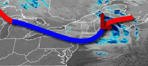
A cold front boundary will linger over the region this morning and then lift north this evening with scattered to broken cloud cover throughout the region. Winds will be from the southwest at 10 to 20 mph with gusts over 25 mph at times. Temperatures will rise into the lower to mid-50s for highs.
High pressure will build into the region tonight through tomorrow with clear skies to scattered cloud cover. Winds will veer from the southeast to southwest at 5 to 15 mph. Temperatures tomorrow will range from the upper 30s to lower 40s for lows and upper 50s to lower 60s for highs.
High pressure will be in control on Thursday with clear skies to scattered cloud cover. Winds will be from the southwest at 5 to 15 mph. Temperatures on Thursday will range from the mid-40s to lower 50s for lows and upper 50s to mid-60s for highs.
High pressure will be in control with clear skies to scattered cloud cover for Friday on through Tuesday. Temperatures on Friday will range from the upper 40s to lower 50s for lows and mid to upper 60s for highs. Temperatures on Saturday will range from the lower to mid-40s for lows and upper 60s to lower 70s for highs. Temperatures on Sunday will range from the mid to upper 40s for lows and upper 60s to lower 70s for highs.
Temperatures on Monday will range from the mid-40s to lower 50s for lows and lower to mid-60s for highs. Temperatures on Tuesday will range from the mid to upper 50s for lows and mid-60s to lower 70s for highs.
For details on your location, please visit the Local Seven Day Forecast.