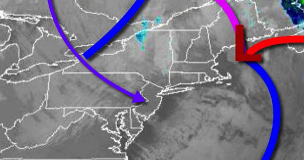
Cold, dry air will continue to invade today with a threat for a few snow flurries, but warmer, drier weather is on the way for the rest of the week.
As a strong area of low pressure pulls away from the region today, scattered clouds with a few rain and snow showers over the Poconos, Catskills, Hudson River Valley, and the Hudson Highlands will linger over the region. Winds will be from the northwest at 15 to 25 mph with gusts over 30 mph through this afternoon. Temperatures will rise into the lower to mid-40s for highs with windchills in the mid-30s.
High pressure will build into the region tonight with clearing skies expected. Winds will be from the northwest at 10 to 20 mph. Temperatures will fall into the upper 30s to lower 40s for lows.
A weak trough will linger over the region tomorrow with scattered clouds and an isolated shower possible. Winds will be from the northwest at 5 to 15 mph. Temperatures tomorrow will rise into the upper 40s to mid-50s for highs.
High pressure will build into the region on Wednesday with scattered cloud cover. Winds will be from the southeast at 5 to 15 mph. Temperatures on Wednesday will range from the mid to upper 30s for lows and upper 50s to lower 60s for highs.
High pressure will be in control Thursday through Monday with clear skies to scattered cloud cover. Temperatures on Thursday will range from the mid-40s to lower 50s for lows and lower to mid-60s for highs. Temperatures on Friday will range from the upper 40s to lower 50s for lows and mid to upper 60s for highs. Temperatures on Saturday will range from the mid to upper 40s for lows and mid-60s to lower 70s for highs. Temperatures
on Sunday and Monday will range from the upper 40s to lower 50s for lows and mid to upper 60s for highs.
For details on your location, please visit the Local Seven Day Forecast.