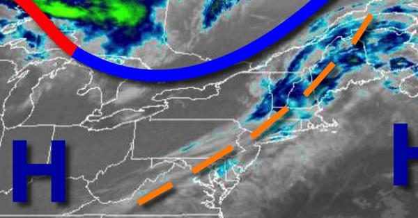
A weak trough passing through the region will produce a few clouds this morning, followed by warm and tranquil conditions through this weekend.
A weak trough will pass through the region this morning with broken cloud cover and some areas of fog. Scattered clouds are expected this afternoon. Winds will be from the southwest at 5 to 10 mph. Temperatures will rise into the mid to upper 60s for highs this afternoon.
High pressure will be in control tonight through Sunday with areas of fog in the morning and clear skies to scattered clouds in the afternoon and evening hours. Winds will be from the southwest at 5 to 10 mph. Temperatures tomorrow will range from the upper 40s to lower 50s for lows and upper 60s to lower 70s for highs. Temperatures on Sunday will range from the mid-40s for lows and upper 60s to lower 70s for highs.
High pressure will remain in control on Monday and Tuesday with clear skies to scattered clouds. Temperatures on Monday will range from the mid-40s for lows and mid to upper 60s for highs. Temperatures on Tuesday will range from the lower to mid-50s for lows and lower to mid-60s for highs.
A slow-moving cold front will produce waves of scattered showers capable of heavy downpours at times Wednesday on through Friday. Temperatures on Wednesday will range from the mid to upper 50s for lows and mid to upper 60s for highs. Temperatures on Thursday will range from the lower 60s for lows and mid-60s for highs. Temperatures on Friday will range from the mid-40s to lower 50s for lows and upper 40s to mid-50s for
highs.
For details on your location, please visit the Local Seven Day Forecast.