Excellent weather will continue through the weekend but a wet weather pattern isn't far away.
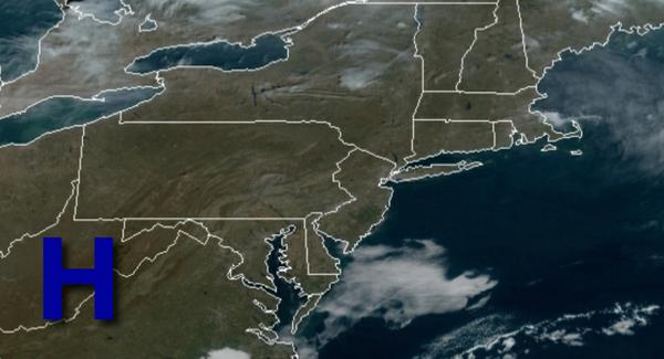
High pressure will remain in control today through Monday with clear skies to scattered cloud cover through the period. Areas of fog will be a threat in the morning hours with the potential for visibility below one mile at times. Winds will be from the southwest at 5 to 10 mph. Temperatures will rise into the upper 60s to lower 70s for highs this afternoon. Temperatures tomorrow will range from the mid-40s for lows and mid-60s to
lower 70s for highs. Temperatures Monday will range from the mid-40s for lows and mid-60s to lower 70s for highs.
High pressure will exit on Tuesday with increasing clouds throughout the day. Temperatures will range from the mid-50s for lows and mid-60s to lower 70s for highs.
A cold front will slowly move through the region Wednesday through Friday with periods of showers, heavy at times. Temperatures on Wednesday will range from the upper 50s to lower 60s for lows and mid to upper 60s for highs. Temperatures on Thursday will range from the lower to mid-60s for lows and mid to upper 60s for highs. Temperatures on Friday will range from the lower to mid-50s for lows and upper 50s to lower 60s for
highs.
High pressure will briefly build into the region on Saturday with scattered clouds. Temperatures will range from the mid to upper 40s for lows and lower to mid-50s for highs.
For details on your location, please visit the Local Seven Day Forecast.