Excellent weather conditions continue with well above normal temperatures and sunny skies. Enjoy the weather now as rain will be returning next week.
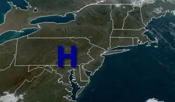
High pressure will be in control today through Tuesday with clear skies to scattered cloud cover with areas of fog in the morning. Winds will be from the southwest at 5 to 15 mph. Temperatures today will rise into the upper 60s to mid-70s for highs. Temperatures tomorrow will range from the mid to upper 40s for lows and upper 60s to lower 70s for highs. Temperatures on Tuesday will range from the lower to mid-50s for lows and
mid-60s to lower 70s for highs.
A cold front will slowly move through the region Wednesday through Friday with periods of showers, heavy at times. Temperatures on Wednesday will range from the upper 60s to lower 60s for lows and mid-60s to lower 70s for highs. Temperatures on Thursday will range from the upper 50s to lower 60s for lows and mid-60s for highs. Temperatures on Friday will range from the lower to mid-50s for lows and upper 50s to lower 60s for
highs.
High pressure will produce clear skies to scattered cloud cover on Saturday. Temperatures will range from the lower to mid-40s for lows and lower to mid-50s for highs.
A cold front will slowly approach the region on Sunday with periods of showers, heavy at times. Temperatures on Sunday will range from the lower to mid-40s for lows and mid to upper 50s for highs.
For details on your location, please visit the Local Seven Day Forecast!