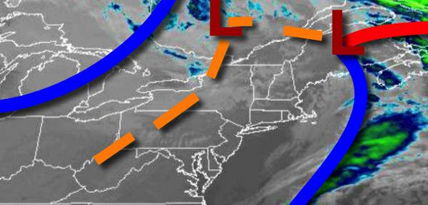
After the first cold front produced severe thunderstorms last night with several reports of wind damage, the next several cold fronts will bring a touch of winter with highs in the 40s and 30s.
A trough will move through the region today with scattered clouds and a few isolated showers. Winds will be from the northwest at 5 to 15 mph with gusts over 20 mph at times. Temperatures will rise into the upper 40s to lower 50s for highs.
Another cold front will follow tomorrow with scattered clouds and isolated rain and snow showers. The highest threat for snow showers will be over the Poconos and Catskills. Winds will be from the northwest at 5 to 15 mph. Temperatures will range from the mid to upper 30s for lows and lower to mid-40s for highs.
High pressure will build into the region on Wednesday with clear skies to scattered clouds. Winds from the west at 5 to 15 mph. Temperatures on Wednesday will range from the mid-20s to lower 30s for lows and mid-30s to lower 40s for highs.
High pressure will exit on Thursday with scattered clouds. Temperatures on Thursday will range from the mid to upper 20s for lows and mid to upper 40s for highs.
A warm front will follow on Friday with increasing clouds and isolated showers. Temperatures on Friday will range from the lower to mid-40s for lows and upper 50s to lower 60s for highs.
A cold front will stall over the region Saturday through Monday with scattered to broken clouds and isolated showers. Temperatures on Saturday will range from the upper 30s to lower 40s for lows and upper 50s to mid-60s for highs. Temperatures on Sunday will range from the mid to upper 40s for lows and mid to upper 50s for highs. Temperatures on Monday will range from the upper 40s to lower 50s for lows and upper 50s to lower 60s for
highs.