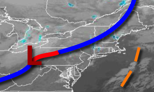
A cold front will bring a shot of cold air to the region by this evening with the threat of a few snow showers over the interior. Warmer weather returns by the end of the week.
A cold front will move through the region with scattered clouds and isolated to widely scattered showers. Snow showers will develop later this afternoon and evening for the Poconos, Catskills, and Hudson Highlands this evening. Winds will be from the northwest at 5 to 15 mph. Temperatures will rise into the lower to mid-40s over the interior and mid to upper 40s along the coast for highs.
High pressure will build into the region tonight with lingering snow showers for higher elevations and scattered clouds elsewhere. Winds will be from the northwest at 5 to 15 mph. Temperatures tonight will fall into the upper 20s to lower 30s for lows.
High pressure will pass over the region tomorrow through Thursday with clear skies to scattered cloud cover. Winds will back from the northwest to southwest at 5 to 15 mph through the period. Temperatures tomorrow will rise into the mid to upper 30s for highs. Temperatures on Thursday will range from the mid to upper 20s for lows and mid to upper 40s for highs.
A warm front will lift through the region on Friday with a few isolated showers. Temperatures on Friday will range from the lower to mid-40s for lows and mid-50s to lower 60s for highs.
A cold front will slowly sink through the region Saturday through Monday with scattered to broken clouds and isolated showers. Temperatures on Saturday will range from the lower to mid-40s for lows and upper 50s for highs. Temperatures on Sunday will range from the upper 30s to lower 40s for lows and lower to mid-50s for highs. Temperatures on Monday will range from the lower to mid-50s for lows and upper 50s to lower 60s for
highs.
The cold front will move through the region on Monday night through Tuesday with scattered showers followed by clearing skies. Temperatures on Tuesday will range from the mid to upper 30s for lows and mid to upper 40s for highs.