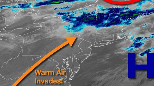
After a brief blast of winter, a warm-weather pattern has returned with a threat for a few showers for some, comfortable conditions for many.
As a trough approaches the region while high pressure exits into the Atlantic, scattered to broken clouds and a few isolated to widely scattered showers can be expected. The best potential for showers will be over the Poconos and Catskills. Winds will be from the southwest at 5 to 15 mph. Temperatures will rise into the mid-50s to lower 60s for highs.
A cold front will approach tonight through tomorrow with scattered to broken clouds along with isolated showers. Winds will veer to the northwest at 5 to 15 mph. Temperatures tomorrow will range from the lower to mid-40s for lows and mid-50s to lower 60s for highs.
The cold front will sink south on Sunday with overcast skies and isolated showers. Winds will veer to the east at 5 to 15 mph. Temperatures on Sunday will range from the upper 30s to lower 40s for lows and lower to mid-50s for highs.
An area of low pressure will move through the region on Monday with periods of showers, heavy at times. Temperatures on Monday will range from the upper 40s to mid-50s for lows and upper 50s to lower 60s for highs.
High pressure will produce scattered cloud cover on Tuesday. Temperatures on Tuesday will range from the mid to upper 30s for lows and mid to upper 40s for highs.
An area of low pressure will move through the region on Wednesday with scattered showers. Temperatures on Wednesday will range from the mid to upper 30s for lows and upper 40s to mid-50s for highs.
Clouds will be on the increase on Thanksgiving with isolated showers towards evening. Temperatures on Thanksgiving will range from the upper 30s to lower 40s for lows and mid to upper 50s for highs.
An area of low pressure will move through on Thursday night through Friday with periods of rain, heavy at times. Temperatures on Friday will range from the lower to mid-50s for lows and upper 50s to lower 60s for highs.