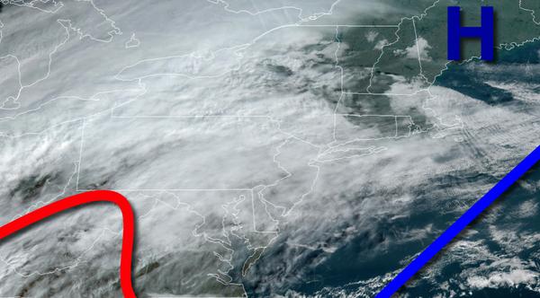
Increasing clouds through today will lead to waves of heavy rainfall by tomorrow morning. An active weather pattern will continue through Thanksgiving.
High pressure over Maine and a warm front approaching from Virginia will produce broken to overcast cloud cover and isolated showers through this afternoon. Winds will be from the east at 5 to 15 mph. Temperatures will rise into the upper 40s to lower 50s over the interior and mid to upper 50s along the coast for highs.
An area of low pressure will approach tonight with widespread showers developing tonight. Winds will veer to the southeast at 5 to 15 mph. Temperatures will fall into the upper 30s to lower 40s over the interior and mid to upper 40s along the coast for lows.
An area of low pressure will move through the region tomorrow with periods of rain, heavy at times, in the morning hours. Showers will linger in the afternoon followed by clear skies towards evening. Winds will be from the west at 10 to 20 mph. Temperatures tomorrow will rise into the upper 40s to lower 50s over the interior and mid to upper 50s along the coast for highs.
High pressure will build into the region tomorrow night through Tuesday with clear skies to scattered cloud cover. Winds will be from the northwest at 5 to 15 mph. Temperatures on Tuesday will range from the lower to mid-30s over the interior and mid to upper 30s along the coast for lows and upper 30s to mid-40s for highs.
High pressure will exit on Wednesday with increasing clouds throughout the day. Temperatures on Wednesday will range from the upper 20s to mid-30s for lows and upper 40s to lower 50s over the interior and mid to upper 50s along the coast for highs.
An area of low pressure will produce periods of rain on Thanksgiving. Temperatures will range from the upper 40s to mid-50s for lows and lower to mid-50s over the interior and upper 50s to lower 60s along the coast for highs.
High pressure will be in control Friday through Sunday with clear skies to scattered cloud cover. Temperatures on Friday will range from the lower to mid-40s over the interior and upper 40s to lower 50s along the coast for lows and upper 40s to lower 50s over the interior and mid to upper 50s along the coast for highs. Temperatures on Saturday will range from the upper 30s to lower 40s over the interior and mid to upper 40s along the coast for
lows and upper 40s to lower 50s for highs. Temperatures on Sunday will range from the mid to upper 30s for lows and mid-40s to lower 50s for highs.