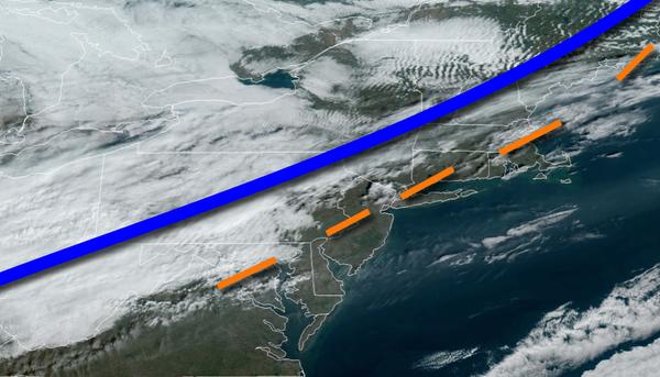
A cold front slowly sinking through the region this weekend will support the threat for isolated showers throughout the region. A wet Thanksgiving is becoming increasingly likely.
A cold front will slowly sink south through the region today with increasing clouds cover and a few isolated showers. Winds will veer to the northwest at 5 to 15 mph. Temperatures will rise into the upper 50s to lower 60s for highs.
The cold front will stall to the south of the region tonight with overcast skies and isolated showers along the coast. Winds will be from the northeast at 5 to 15 mph. Temperatures will fall into the upper 30s to lower 40s for lows.
A wave of low pressure off the coast will produce overcast skies and isolated showers tomorrow. Winds will be from the east at 5 to 15 mph. Temperatures tomorrow will rise into the lower to mid-50s for highs.
An area of low pressure will move through the region on Monday with periods of rain through much of the morning followed by lingering showers in the afternoon. Winds will be from the west at 10 to 20 mph. Temperatures on Monday will range from the upper 40s to mid-50s for lows and mid to upper 50s for highs.
High pressure will be in control on Tuesday and Wednesday with clear skies to scattered clouds. Temperatures on Tuesday will range from the mid to upper 30s for lows and lower to mid-40s for highs. Temperatures on Wednesday will range from the upper 20s to mid-30s for lows and upper 40s to mid-50s for highs.
An area of low pressure will pass through the region on Thanksgiving with periods of rain. Temperatures will range from the lower to mid-50s for lows and mid to upper 50s for highs.
Showers will linger on Friday morning followed by clearing skies. Temperatures on Friday will range from the mid-40s to lower 50s for lows and mid to upper 50s for highs.
High pressure will produce clear skies to scattered clouds on Saturday. Temperatures on Saturday will range from the lower to mid-40s for lows and lower to mid-50s for highs.