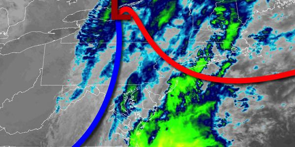
An active weather pattern will be in place through this week with heavy rainfall threats this morning and for Thanksgiving.
A cold front will drive through the region this morning with periods of rain, heavy at times. The rain will exit by this afternoon with clearing skies towards evening. Winds will veer to the west at 10 to 20 mph with higher gusts. Temperatures will rise into the mid-40s to lower 50s over the interior and mid-50s to lower 60s along the coast for highs before falling through the 50s, 40s, and 30s this evening.
High pressure will build into the region tonight with clearing skies expected. Winds will be from the northwest at 5 to 15 mph. Temperatures will fall into the lower to mid-30s over the interior and mid to upper 30s along the coast for lows.
High pressure will pass over the region tomorrow through Wednesday with clear skies to scattered cloud cover. Winds will veer from the northwest to south at 5 to 15 mph. Temperatures tomorrow will range from the upper 30s to mid-40s for highs. Temperatures on Wednesday will range from the lower to mid-30s over the interior and mid to upper 30s along the coast for lows and upper 40s to mid-50s for highs.
An area of low pressure will move through the region on Thanksgiving with periods of rain, heavy at times. Temperatures on Thanksgiving will range from the mid-40s to lower 50s for lows and mid to upper 50s for highs.
High pressure will be in control Friday through Sunday with clear skies to scattered cloud cover. Temperatures on Friday will range from the mid to upper 40s for lows and lower to mid-50s over the interior and upper 50s to lower 60s along the coast. Temperatures on Saturday will range from the upper 30s to mid-40s for lows and upper 40s to mid-50s for highs. Temperatures on Sunday will range from the upper 20s to lower 30s over the
interior and mid to upper 30s along the coast for lows and mid to upper 40s for highs.
An area of low pressure will produce periods of rain, heavy at times, on Monday. Temperatures will range from the mid-30s to lower 40s for lows and mid-50s to lower 60s for highs.