Waves of rainfall this morning will give way to improving conditions by this evening. A stormy weather pattern will return by next week.
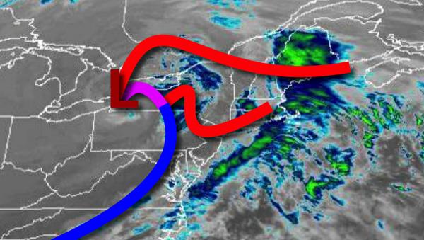
A strong cold front and area of low pressure will lift through the region through this afternoon with periods of rainfall. Winds will be from the southwest at 5 to 15 mph. Temperatures will rise into the mid-50s to lower 60s for highs.
High pressure will build into the region tonight through tomorrow with clearing skies. Winds will be from the west at 5 to 15 mph. Temperatures tomorrow will range from the lower to mid-40s for lows and mid-40s to lower 50s over the interior and mid to upper 50s along the coast for highs.
High pressure will be in control with clear skies to scattered clouds on Saturday and Sunday. Winds will be from the southwest at 5 to 10 mph. Temperatures on Saturday will range from the mid-30s to lower 40s for lows and mid-40s to lower 50s for highs. Temperatures on Sunday will range from the lower to mid-30s over the interior and mid to upper 30s along the coast for lows and upper 40s to lower 50s for highs.
A strong area of low pressure will produce waves of moderate to heavy rainfall Monday afternoon through Tuesday. Temperatures on Monday will range from the lower to mid-40s over the interior and mid to upper 40s along the coast for lows and upper 50s to lower 60s for highs. Temperatures on Tuesday will range from the lower to mid-40s over the interior and upper 40s to lower 50s along the coast for lows and lower to mid-50s for
highs.
High pressure will be in control on Wednesday and Thursday with clear skies to scattered cloud cover. Temperatures on Wednesday will range from the mid-20s to lower 30s over the interior and mid to upper 30s along the coast for lows and mid-30s to lower 40s over the interior and lower to mid-40s along the coast for highs. Temperatures on Thursday will range from the mid-20s to lower 30s for lows and mid-30s to lower 40s for
highs.