Excellent weather conditions today will give way to waves of rainfall by tomorrow afternoon. An active and colder weather pattern will return for next week.
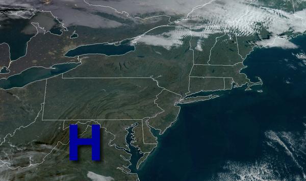
High pressure will be in control today with clear skies to scattered cloud cover. Winds will be from the southwest at 5 to 15 mph. Temperatures will rise into the upper 40s to lower 50s for highs this afternoon.
High pressure will exit tonight with increasing clouds through tomorrow morning. Showers will develop towards daybreak. Winds will veer to the southeast at 5 to 15 mph. Temperatures will fall into the upper 30s to mid-40s for lows.
An area of low pressure and a strong warm front will produce periods of moderate to heavy rainfall late tomorrow morning through the evening. Rainfall amounts of 0.50" to 1.50" can be expected with heavier amounts up to 2.00" will be possible. Winds will be from the southeast at 10 to 20 mph with higher gusts. Temperatures tomorrow will rise into the mid-50s to lower 60s for highs.
The area of low pressure will lift into the St. Lawrence River Valley tomorrow night through Tuesday with scattered to broken clouds along with isolated to widely scattered rain and snow showers. Winds will be from the west at 5 to 15 mph. Temperatures on Tuesday will fall through the 50s, 40s, and 30s through the day.
A series of weak troughs will pass through the region Wednesday and Thursday with isolated to widely scattered rain and snow showers. Temperatures on Wednesday will range from the upper 20s to lower 30s over the interior and mid to upper 30s along the coast for lows and mid-30s to lower 40s over the interior and lower to mid-40s along the coast for highs. Temperatures on Thursday will range from the mid-20s to lower 30s over the interior and
lower to mid-30s along the coast for lows and upper 30s to mid-40s for highs.
High pressure will produce clear skies to scattered cloud cover on Friday. Temperatures on Friday will range from the lower to mid-30s over the interior and mid to upper 30s along the coast for lows and mid to upper 40s for highs.
An area of low pressure will produce scattered showers on Saturday. Temperatures on Saturday will range from the upper 20s to lower 30s over the interior and mid to upper 30s along the coast for lows and mid-40s to lower 50s for highs.
High pressure will be in control on Sunday with scattered clouds. Temperatures on Sunday will range from the mid-20s to lower 30s over the interior and mid to upper 30s along the coast for lows and upper 30s to mid-40s for highs.