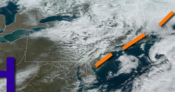
A pesky trough will keep some cloud cover around today but tranquil conditions will continue otherwise. A significant rainstorm is on the way for Monday.
A weak trough will pass through the region today with scattered to broken cloud cover. Winds will be from the west at 5 to 15 mph. Temperatures will rise into the mid-40s to lower 50s over the interior and lower to mid-50s along the coast.
High pressure will pass through the region tonight through tomorrow with clear skies to scattered clouds. Winds will be from the southwest at 5 to 15 mph. Temperatures will range from the upper 20s to mid-30s for lows and upper 40s to lower 50s for highs.
An area of low pressure will approach the region with a strong warm front on Monday which will produce periods of rain, heavy at times, late in the morning on through the evening. Rainfall amount of 0.50" to 1.50" is expected with locally higher amounts up to 2" possible. Winds will be from the southeast at 10 to 20 mph. Temperatures on Monday will range from the upper 30s to mid-40s for lows and mid-50s to lower 60s for
highs.
The low-pressure system will be lifting through the eastern Great Lakes and New England with lingering scattered showers expected on Tuesday. Temperatures will fall through the 50s, 40s, and 30s through the day.
A series of weak troughs will follow on Wednesday and Thursday with scattered clouds and isolated to widely scattered snow showers for the Poconos and Catskills. Temperatures on Wednesday will range from the upper 20s to mid-30s over the interior and mid-30s to lower 40s along the coast for lows and mid-30s to lower 40s over the interior and lower to mid-40s along the coast for highs. Temperatures on Thursday will range from the mid-20s to
lower 30s over the interior and lower to mid-30s along the coast for lows and upper 30s to lower 40s over the interior and mid to upper 40s along the coast for highs.
High pressure will exit off the coast on Friday with increasing clouds. Temperatures will range from the upper 20s to lower 30s over the interior and mid to upper 30s along the coast for lows and upper 30s to lower 40s over the interior and mid to upper 40s along the coast for highs.
An area of low pressure will produce periods of showers on Saturday, especially in the afternoon and evening. Temperatures on Saturday will range from the mid to upper 30s for lows and upper 40s to mid-50s for highs.