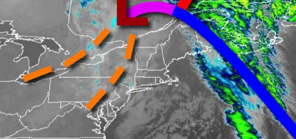
As an area of low pressure lifts into the Canadian Maritimes cold air and a few snow showers will continue to stream into the region. A major storm is likely by this weekend with heavy rain and mountain snowfall.
An area of low pressure will continue to lift north with scattered clouds and a few isolated to widely scattered snow showers. Winds will be from the west-southwest at 5 to 15 mph. Temperatures will rise into the upper 30s to mid-40s for highs.
High pressure will produce clear skies to scattered cloud cover continue on through tomorrow. Winds will be from the southwest at 5 to 15 mph. Temperatures tomorrow will range from the upper 20s to mid-30s for lows and mid-30s to lower 40s over the interior and mid to upper 40s along the coast for highs.
A cold front will drop through the region on Friday with increasing clouds and isolated to widely scattered showers. Winds will be from the southwest at 5 to 15 mph. Temperatures on Friday will range from the mid to upper 30s over the interior and lower to mid-40s along the coast for lows and mid-40s to lower 50s for highs.
An area of low pressure will approach the region on Friday night with widespread rainfall. The area of low pressure will lift through the New Jersey coast on through southern New England on Saturday with waves of rainfall, heavy at times. The rain will mix over and change to heavy, wet snow in the Poconos and Catskills with some accumulation possible. Windy conditions can be expected. Temperatures on Saturday will fall through the
50s and 40s along the coast and 40s and 30s over the interior.
The low-pressure system will exit on Sunday with lingering rain and snow showers in the morning followed by clearing skies. Temperatures on Sunday will range from the mid to upper 20s over the interior and lower to mid-30s along the coast for lows and upper 20s to lower 30s over the interior and mid to upper 30s along the coast for highs.
A series of weak cold fronts and troughs will move through the region with scattered clouds and isolated snow showers and flurries on Monday through Wednesday. Temperatures on Monday will range from the mid-20s to lower 30s for lows and lower to mid-30s over the interior and upper 30s to lower 40s along the coast for highs. Temperatures on Tuesday will range from the upper 20s to mid-30s for lows and mid to upper 30s over the interior and
lower to mid-40s along the coast for highs. Temperatures on Wednesday will range from the upper 20s to mid-30s for lows and mid-30s to lower 40s for highs.