Temperatures will fall through the day as cold air filters in while widely scattered showers linger over the region. A storm threat is possible by this weekend.
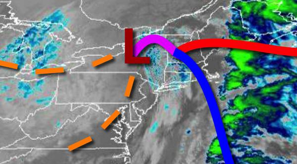
As an area of low-pressure lifts north into Canada today scattered to broken cloud cover along with isolated to widely scattered rain showers, at times mixing with snow for higher elevations, can be expected through this evening. Winds will be from the southwest at 10 to 20 mph. Temperatures will fall through the 50s and 40s and into the 30s by this evening.
A series of troughs of low pressure will move through the region tonight on through tomorrow with scattered clouds and isolated to widely scattered rain and snow showers. Winds will be from the southwest at 5 to 15 mph. Temperatures will range from the upper 20s to lower 30s over the interior and mid to upper 30s along the coast for lows and mid to upper 30s over the interior and lower to mid-40s along the coast for highs.
High pressure will produce clear skies to scattered cloud cover on Thursday. Winds will be from the west-southwest at 5 to 15 mph. Temperatures on Thursday will range from the mid to upper 20s over the interior and lower to mid-30s along the coast for lows and upper 30s to mid-40s for highs.
A cold front will follow on Friday with scattered clouds and isolated showers. Temperatures on Friday will range from the mid-30s to lower 40s over the interior and lower to mid-40s along the coast for lows and mid to upper 40s for highs.
An area of low pressure and a series of troughs will linger over the coastal waters Saturday through Monday with scattered to broken cloud cover and isolated to widely scattered rain and snow showers. There are signs that a winter storm may be possible in this period, however at this time the storm is expected to develop too far east of the region to produce significant impacts on the area. Temperatures on Saturday will range from the upper
20s to lower 30s over the interior and mid to upper 30s along the coast for lows and lower to mid-30s over the interior and upper 30s to lower 40s for highs. Temperatures on Sunday will range from the mid-20s to lower 30s for lows and lower to mid-30s over the interior and mid to upper 30s along the coast for highs. Temperatures on Monday will range from the mid to upper 20s over the interior and lower to mid-30s along the coast for lows and mid-30s to lower 40s for
highs.
High pressure will produce clear skies to scattered cloud cover on Tuesday with clear skies to scattered cloud cover. Temperatures on Tuesday will range from the mid-20s to lower 30s for lows and upper 20s to lower 30s over the interior and mid to upper 30s along the coast for highs.