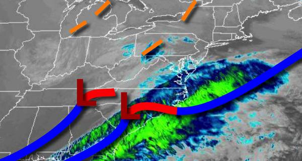
An area of low pressure passing to the south of the region and a few troughs passing through will keep the threat for a few flurries and snow showers in the forecast to start the week.
An area of low pressure will pass to the south and southeast of the region today on through tomorrow with scattered clouds and a threat for a few snow showers and flurries, especially along the coast. Winds will be from the northwest at 5 to 15 mph. Temperatures will rise into the lower to mid-30s over the interior and upper 30s to lower 40s along the coast for highs today. Temperatures tomorrow will range from the mid to upper 20s for
lows and lower to mid-30s for highs.
A cold front and area of low pressure will dive through the region on Wednesday with scattered snow showers and flurries. Winds will be from the west at 5 to 15 mph. Temperatures on Wednesday will range from the mid to upper 20s for lows and mid-30s to lower 40s for highs.
High pressure will be in control on Thursday and Friday with clear skies to scattered cloud cover. Temperatures on Thursday will range from the lower to mid-30s for lows and upper 30s to mid-40s for highs. Temperatures on Friday will range from the mid-20s to lower 30s for lows and mid-40s to lower 50s for highs.
A warm front will lift through the region on Saturday with periods of showers. Temperatures on Saturday will range from the upper 30s to mid-40s over the interior and upper 40s to lower 50s along the coast for lows and upper 40s to lower 50s over the interior and mid to upper 50s along the coast for highs.
A cold front will follow on Sunday with periods of showers. Temperatures on Sunday will range from the mid-40s over the interior and upper 40s to mid-50s along the coast for lows and upper 40s to lower 50s over the interior and mid to upper 50s along the coast for highs.
High pressure will be in control on Monday with clear skies to scattered cloud cover on Monday. Temperatures on Monday will range from the upper 20s to mid-30s for lows and mid-30s to lower 40s for highs.